| 1324km 5h45 |
Depart from Big Meadows campground on Skyline Drive |
|---|---|
|
Starting at the crack of dawn means you have the road and the sunrise to yourself. But it also means that you effectively clear the wildlife from the road. In the early morning, and late the previous evening, there was literally a deer encounter every kilometer! Moreover, in the early morning, squirrels everywhere seem to be licking the middle of the roadway, so you have to slow down to a dead crawl to avoid running them over. 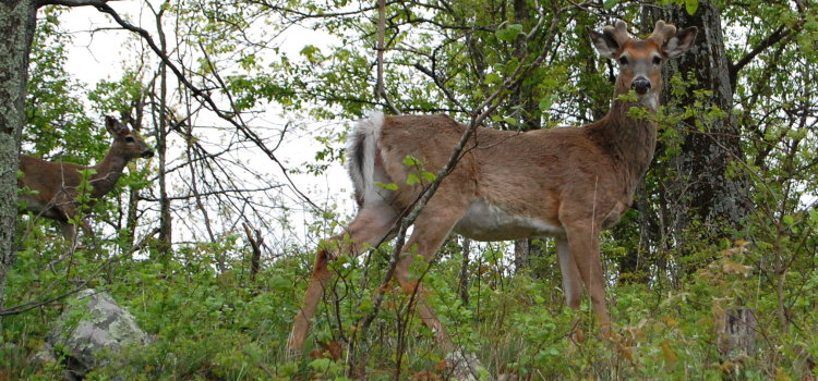 Wild Turkeys are also very often spotted, although they tend to keep to the side of the road, unlike this one.  |
|
| 1411km 8h30 |
End Skyline Drive |
|
Even with the road to onesself, it takes a lot of time to appreciate everything on the drive. This is obvious in the nearly three hours required to drive the final 87km of Skyline Drive. 30km/h does indeed seem to be a good estimate. Skyline Drive and the Blue Ridge Parkway effectively connect up. However a short detour into Waynesboro, VA was useful for food, fuel and provisions. The Blue Ridge Parkway is long and somewhat isolated, so its best to begin fully prepared. |
|
| 1424km 10h30 |
Start Blue Ridge Parkway |
|
Unlike Skyline Drive, there is no entry fee for the Blue Ridge Parkway. Also, the speed limit is slightly higher at 45mph or 72km/h except where otherwise indicated. The Blue Ridge Parkway is 750km in length. Not surprisingly, the National Park Service pamphlet with fold out map is long enough to reach from my feet to above my belly button! This pamphlet and other useful information is available at the Humpback Rocks visitor center, just a few miles in from the start of the drive. 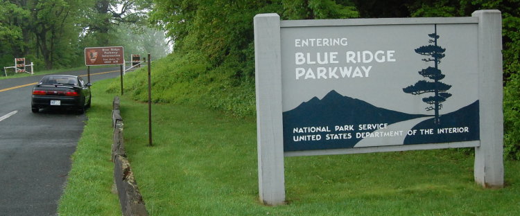 Early May is a great time to visit not only for the blooming flowers, but also for the absence of large RVs on the road. Light traffic makes all the difference in truly appreciating the drive, scenery and solitude. 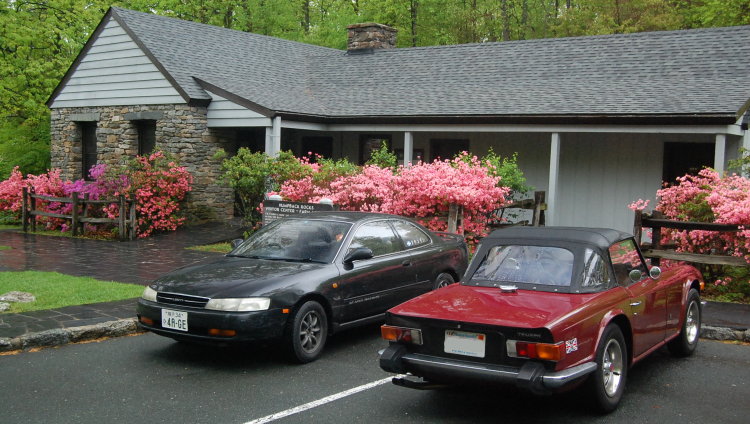 The Blue Ridge Parway also has plenty of pullouts, overlooks and short and long trails to explore. The sights are quite diverse, and a guidebook is handy for deciding what to see and what to skip. 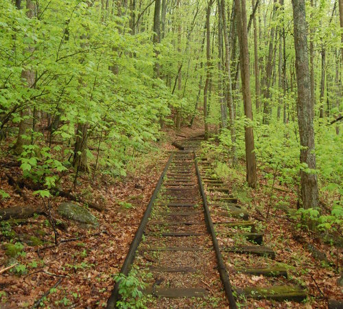 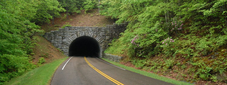 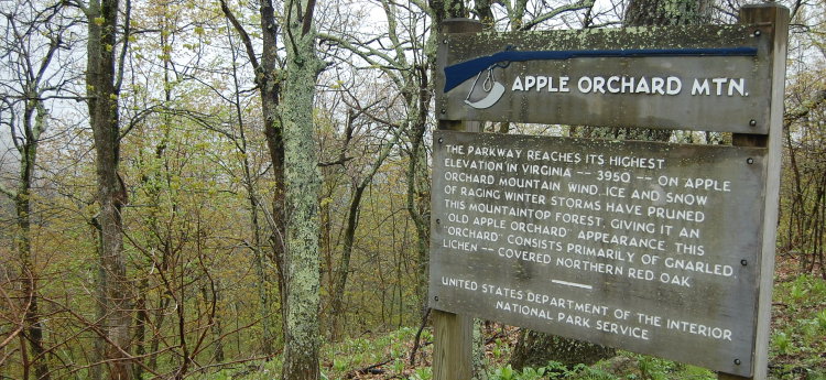 Aside from the Roanoke, VA area, the parkway is very much a drivers road with plenty of curves and elevation changes. Driving at the speed limit is quite pleasant, and in more than a few sections, the average car would require some encouragement just to keep up the speed limit. Add fog and clouds and you have all the elements of a great drive. |
|
| 1708km 17h00 |
Mabry Mill, Blue Ridge Parkway Mile 175, VA |
|
The Mabry Mill is the most photographed feature on the Blue Ridge Parkway. Definitely worth a stop, and there's a restaurant on site too. 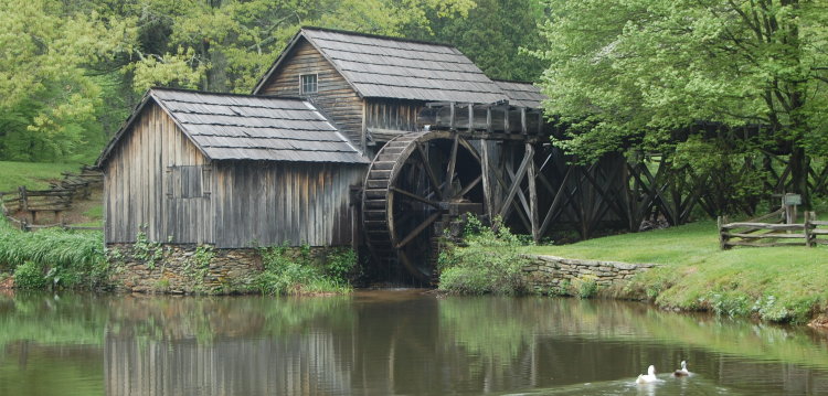 |
|
| 1773km 18h30 |
Enter North Carolina on Blue Ridge Parkway |
|
Shortly after the North Carolina border, you encounter the following sign indicating the initial stretch of the Blue Ridge Parkway. Construction began as a public works project during the Great Depression. Which begs the question: if we plunge into another terrible depression as a result of our current economic woes, will we at least get some great new parkways as a silver lining? And if so, will there be enough cheap oil left to enjoy them?!? 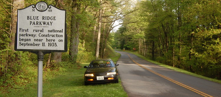  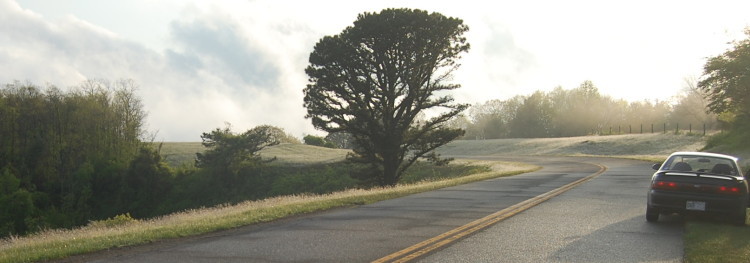 |
|
| 1842km 20h30 |
Arrive at Doughton Park campground on Blue Ridge Parkway |
|
The Doughton Park campground opens on May 15th. Unfortunately, I arrived on May 11th. Unable to make other arrangements, I simply parked in front of the gate and slept in the car (on a previous trip to Arizona/Utah in the off-season, this too was often the only option). I noticed only three vehicles passing throughout the entire night, and two of them tried to pull into the campground, obviously expecting it to be open/accessible as I was! 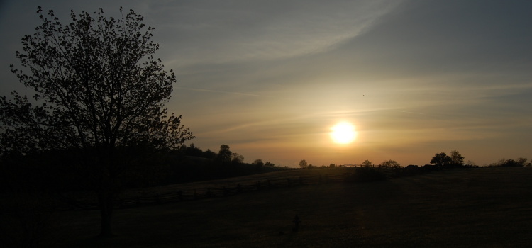 Driving Summary: 518km over nearly 15 hours |
|